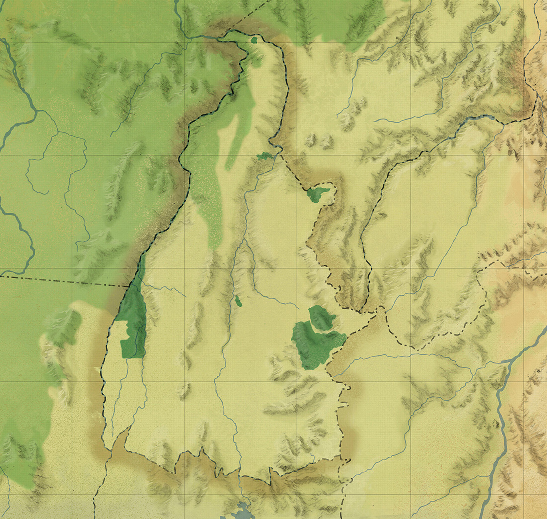
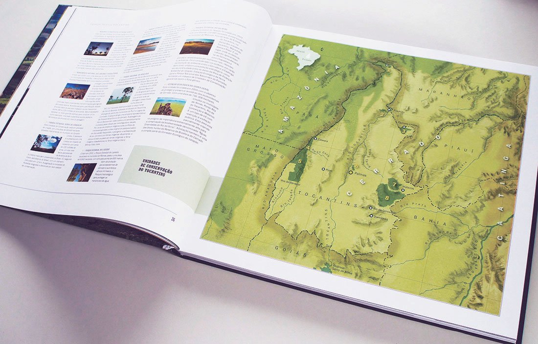
> Desenho á lapis com pintura digital.
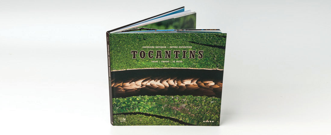
Mapa do estado de Tocantins, da região norte do Brasil. Esta ilustração foi desenvolvida para integrar o livro de fotografia de Zé Paiva, Expedição Natureza – Tocantins. O tema da publicação é a natureza do estado.
O que devia ser exibido no mapa são as divisões com os estados vizinhos, as variações de relevo, os rios, os diferentes biomas e as 8 unidades de conservação presentes no estado. As informações escritas foram acrescentadas pelo designer do livro, Oscar Rivas Beasley.
> Pencil drawing with digital painting.
Map of the state of Tocantins, northern Brazil. This illustration was developed to integrate the book of photography of Zé Paiva Expedição Natureza – Tocantins. The theme of publication is the nature of the state.
What should be displayed on the map are the divisions with the neighboring states, the relief variations, the rivers, the different biomes and the 8 conservation units present in the state. Written information was added by book designer Oscar Rivas Beasley.